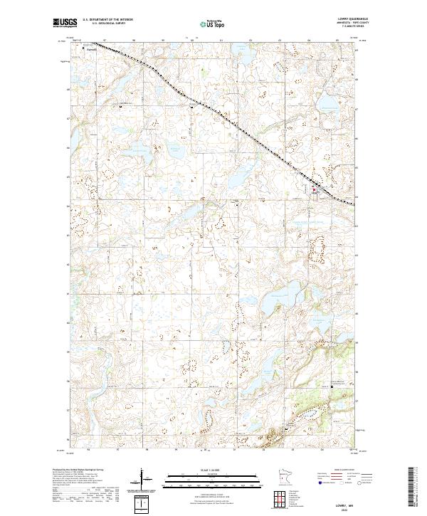
2022 Map of Lowry
USGS Topo · Published 2022About this map
Lowry and Farwell anchor this western Pope County landscape, which is characterized by a high concentration of small lakes and glacial wetlands. The Little Chippewa River meanders through the central and southern sections, while numerous named water bodies like Wollan Lake, Strandness Lake, and Malmedal Lake define the terrain's low-lying pockets. For researchers, the map provides a exceptionally detailed look at the local spiritual and genealogical landscape, noting several distinct burial grounds. These include the Ben Wade Cem and Norunga Cem in the northern townships, along with the Indherred Church Cem and Early Indherred Community Cem further south. The drainage patterns are further managed by man-made infrastructure like County Ditch Number Seven, reflecting the region's agricultural history and water management practices. A grid of county roads and streets, such as Isabella St and Co Hwy 28, connects these small settlements and historic church sites.
Find a feature on this map
40 named features on this map. Tap any name to fly to it.
Don’t see what you’re looking for? This feature index may not catch every label — zoom into the map to look around manually.
Map Details
Editions of this 2022 Lowry Map
This is the sole edition of this map. No revisions or reprints were ever made.
Other maps of this area

1953 · Saint Cloud
USGS Topo · 1:250,000

1957 · Saint Cloud
USGS Topo · 1:250,000

1958 · Saint Cloud
USGS Topo · 1:250,000

1966 · Farwell
USGS Topo · 1:24,000

1966 · Kensington
USGS Topo · 1:24,000

1966 · Lake Mary
USGS Topo · 1:24,000

1968 · Cyrus
USGS Topo · 1:24,000

1968 · Starbuck
USGS Topo · 1:24,000

1968 · Lowry
USGS Topo · 1:24,000

1968 · Glenwood
USGS Topo · 1:24,000