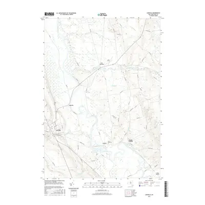
2016 Map of Lowville
USGS Topo · Published 2016About this map
The Black River snakes through the center of this Lewis County landscape, serving as a primary geographical anchor for the villages and hamlets that define the region's character. In the southwest, the village of Lowville stands as a hub of local activity, where streets like Trinity Ave and E State St meet the waters of Mill Creek. To the east across the river valley, the small settlement of Watson and the riverfront at Bushes Landing show the distributed nature of the rural population during this era.
Find a feature on this map
64 named features on this map. Tap any name to fly to it.
Don’t see what you’re looking for? This feature index may not catch every label — zoom into the map to look around manually.
Map Details
Editions of this 2016 Lowville Map
This is the sole edition of this map. No revisions or reprints were ever made.
Other maps of this area

1902 · Carthage
USGS Topo · 1:62,500

1904 · Carthage
USGS Topo · 1:62,500

1905 · Port Leyden
USGS Topo · 1:62,500

1906 · Highmarket
USGS Topo · 1:62,500

1907 · Port Leyden
USGS Topo · 1:62,500

1911 · Lowville
USGS Topo · 1:62,500

1913 · Lowville
USGS Topo · 1:62,500

1940 · Port Leyden
USGS Topo · 1:62,500

1943 · West Lowville
USGS Topo · 1:31,680

1943 · Carthage
USGS Topo · 1:31,680