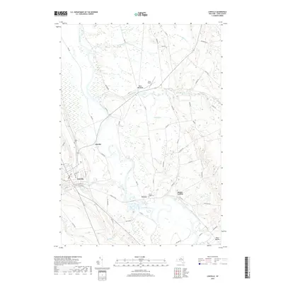
2019 Map of Lowville
USGS Topo · Published 2019About this map
The Black River carves a serpentine path through this Lewis County landscape, serving as the central geographic feature for the settlements of Lowville, Dadville, and Watson. As of 2019, the area maintains a balance between its organized town centers and the surrounding wetlands and waterways. Near New Bremen, Crystal Pond and Crystal Creek suggest the drainage patterns that have long influenced local land use, while small aviation infrastructure like Duflo Airport appears north of the creek. Genealogists and local historians can locate established burial grounds such as Ebbley Cem and Beaches Bridge Cem, which sit alongside a network of rural roads including River Rd and Number Four Rd. The map illustrates the contemporary layout of Lowville where Mill Creek flows through the village near E State St and Water St, marking the intersection of the region's hydrography and residential development.
Find a feature on this map
61 named features on this map. Tap any name to fly to it.
Don’t see what you’re looking for? This feature index may not catch every label — zoom into the map to look around manually.
Map Details
Editions of this 2019 Lowville Map
This is the sole edition of this map. No revisions or reprints were ever made.
Other maps of this area

1902 · Carthage
USGS Topo · 1:62,500

1904 · Carthage
USGS Topo · 1:62,500

1905 · Port Leyden
USGS Topo · 1:62,500

1906 · Highmarket
USGS Topo · 1:62,500

1907 · Port Leyden
USGS Topo · 1:62,500

1911 · Lowville
USGS Topo · 1:62,500

1913 · Lowville
USGS Topo · 1:62,500

1940 · Port Leyden
USGS Topo · 1:62,500

1943 · West Lowville
USGS Topo · 1:31,680

1943 · Carthage
USGS Topo · 1:31,680