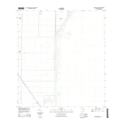
2015 Map of Loxahatchee SW
USGS Topo · Published 2015About this map
The water management systems of Palm Beach County dominate this 2015 landscape, defined by the long, straight channels of the L-7 Canal and the Hillsboro Canal. This part of Florida is shaped by significant engineering intended to control the flow of water across the flat terrain, a pattern visible in the geometric grid of agricultural fields and access routes. Running diagonally through the southern portion of the map, Browns Farm Rd provides the primary land passage through this controlled environment. The map details the Public Land Survey System divisions, including t44s r38e, t44s r39e, and t45s r38e, which provide an essential framework for researchers tracking land ownership and drainage district boundaries in this specialized agricultural zone.
Find a feature on this map
6 named features on this map. Tap any name to fly to it.
Don’t see what you’re looking for? This feature index may not catch every label — zoom into the map to look around manually.
Map Details
Editions of this 2015 Loxahatchee SW Map
This is the sole edition of this map. No revisions or reprints were ever made.
Other maps of this area

1956 · West Palm Beach
USGS Topo · 1:250,000

1957 · West Palm Beach
USGS Topo · 1:250,000

1958 · West Palm Beach
USGS Topo · 1:250,000
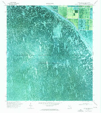
1970 · Loxahatchee SE
USGS Topo · 1:24,000
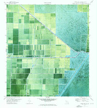
1970 · Loxahatchee NW
USGS Topo · 1:24,000
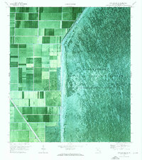
1970 · Loxahatchee SW
USGS Topo · 1:24,000
1970 · Shawano
USGS Topo · 1:24,000
1970 · Sixmile Bend
USGS Topo · 1:24,000
1971 · Loxahatchee
USGS Topo · 1:24,000
1973 · Fort Lauderdale 2 NE
USGS Topo · 1:24,000