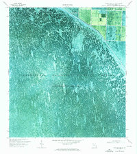
1970 Map of Loxahatchee SE
USGS Topo · Published 1976About this map
Loxahatchee National Wildlife Refuge dominates this orthophotomap, showing the intricate textured surface of the northern Everglades as it appeared in 1970. This area, also designated as Conservation Area No 1, is characterized by an expanse of sawgrass and sloughs, punctuated by elongated tree islands known as teardrop hammocks. These natural patterns are starkly interrupted by the rigid engineering of the L-40 Canal, which forms a sharp boundary between the protected wetlands and the emerging agricultural or developed lands to the east.
Find a feature on this map
7 named features on this map. Tap any name to fly to it.
Don’t see what you’re looking for? This feature index may not catch every label — zoom into the map to look around manually.
Map Details
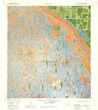
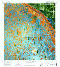
Editions of this 1970 Loxahatchee SE Map
3 editions found
Other maps of this area

1945 · Greenacres City
USGS Topo · 1:24,000

1946 · Palm Beach Farms
USGS Topo · 1:24,000

1947 · Delmar Farms
USGS Topo · 1:24,000

1949 · Palm Beach Farms
USGS Topo · 1:24,000

1949 · Delmar Farms
USGS Topo · 1:24,000

1950 · Greenacres City
USGS Topo · 1:24,000

1956 · West Palm Beach
USGS Topo · 1:250,000

1957 · West Palm Beach
USGS Topo · 1:250,000

1958 · West Palm Beach
USGS Topo · 1:250,000
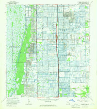
1962 · University Park
USGS Topo · 1:24,000