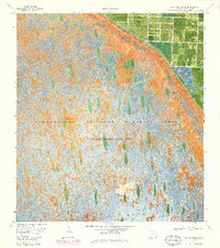
1970 Map of Loxahatchee SE
USGS Topo · Published 1984About this map
Loxahatchee National Wildlife Refuge dominates this orthophotomap, showing the complex hydrology of the northern Everglades during the early 1970s and 1980s. The landscape is primarily defined by Conservation Area No 1, where the intricate patterns of vegetation and water are punctuated by the stark linearity of human water management. The northeastern corner of the map reveals the sharp contrast between the preserved wetlands and the encroaching agricultural or residential grid of Palm Beach County. Key infrastructure for managing the flow of water across this landscape includes the L-40 Canal, supported by mechanical Pump and Pumps installations. This document provides a rare visual record of the transition between the wild interior of the refuge and the heavily engineered drainage systems that define modern South Florida land use.
Find a feature on this map
7 named features on this map. Tap any name to fly to it.
Don’t see what you’re looking for? This feature index may not catch every label — zoom into the map to look around manually.
Map Details
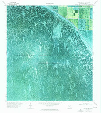
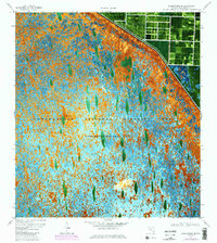
Editions of this 1970 Loxahatchee SE Map
3 editions found
Other maps of this area

1945 · Greenacres City
USGS Topo · 1:24,000

1946 · Palm Beach Farms
USGS Topo · 1:24,000

1947 · Delmar Farms
USGS Topo · 1:24,000

1949 · Palm Beach Farms
USGS Topo · 1:24,000

1949 · Delmar Farms
USGS Topo · 1:24,000

1950 · Greenacres City
USGS Topo · 1:24,000

1956 · West Palm Beach
USGS Topo · 1:250,000

1957 · West Palm Beach
USGS Topo · 1:250,000

1958 · West Palm Beach
USGS Topo · 1:250,000
1962 · University Park
USGS Topo · 1:24,000