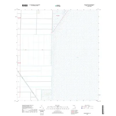
2018 Map of Loxahatchee SW
USGS Topo · Published 2018About this map
The Everglades dominates the eastern expanse of this Palm Beach County landscape, where the vast subtropical wetlands meet the structured drainage and agricultural grids of south Florida. This boundary is defined by the L-7 Canal, a stark hydrological line separating the wilder interior of the glades from the managed lands to the west. Evidence of the region’s specialized agricultural history is seen in the straight-line routes of Dairy Rd and Co Hwy 827, which provide access to large-scale rural tracts. The Hillsboro Canal cuts diagonally across the southwest, illustrating the massive water management infrastructure required to sustain the communities and farms of the Lake Okeechobee region. This survey highlights the rigid intersection of modern engineering and the natural swamp environment during the late 2010s.
Find a feature on this map
8 named features on this map. Tap any name to fly to it.
Don’t see what you’re looking for? This feature index may not catch every label — zoom into the map to look around manually.
Map Details
Editions of this 2018 Loxahatchee SW Map
This is the sole edition of this map. No revisions or reprints were ever made.
Other maps of this area

1956 · West Palm Beach
USGS Topo · 1:250,000

1957 · West Palm Beach
USGS Topo · 1:250,000

1958 · West Palm Beach
USGS Topo · 1:250,000
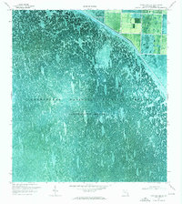
1970 · Loxahatchee SE
USGS Topo · 1:24,000
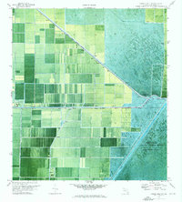
1970 · Loxahatchee NW
USGS Topo · 1:24,000
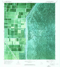
1970 · Loxahatchee SW
USGS Topo · 1:24,000
1970 · Shawano
USGS Topo · 1:24,000
1970 · Sixmile Bend
USGS Topo · 1:24,000
1971 · Loxahatchee
USGS Topo · 1:24,000
1973 · Fort Lauderdale 2 NE
USGS Topo · 1:24,000