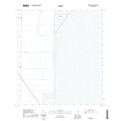
2021 Map of Loxahatchee SW
USGS Topo · Published 2021About this map
The Everglades dominates the eastern half of this Palm Beach County landscape, appearing as a preserved expanse of wetlands defined by the distinctive water management infrastructure of South Florida. To the west, the land is partitioned into a rigid grid of agricultural or conservation blocks, intersected by essential water arteries including the L-7 Canal and the diagonal course of the Hillsboro Canal. These waterways and drainage channels serve as the primary landmarks in an area focused on land reclamation and hydrological control. Local transit is limited to a few straight-line corridors such as Dairy Rd and Co Hwy 827, which skirt the edges of the marsh and agricultural parcels, providing a 2021 perspective on the ongoing balance between the wilderness of the glades and human development.
Find a feature on this map
8 named features on this map. Tap any name to fly to it.
Don’t see what you’re looking for? This feature index may not catch every label — zoom into the map to look around manually.
Map Details
Editions of this 2021 Loxahatchee SW Map
This is the sole edition of this map. No revisions or reprints were ever made.
Other maps of this area

1956 · West Palm Beach
USGS Topo · 1:250,000

1957 · West Palm Beach
USGS Topo · 1:250,000

1958 · West Palm Beach
USGS Topo · 1:250,000
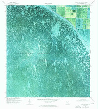
1970 · Loxahatchee SE
USGS Topo · 1:24,000

1970 · Loxahatchee NW
USGS Topo · 1:24,000

1970 · Loxahatchee SW
USGS Topo · 1:24,000

1970 · Shawano
USGS Topo · 1:24,000

1970 · Sixmile Bend
USGS Topo · 1:24,000
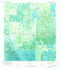
1971 · Loxahatchee
USGS Topo · 1:24,000
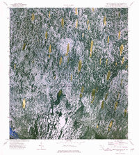
1973 · Fort Lauderdale 2 NE
USGS Topo · 1:24,000