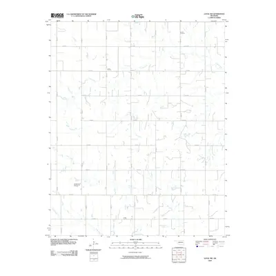
2009 Map of Loyal NW
USGS Topo · Published 2009About this map
Omega Cemetery and the Omega Seventh Day Adventist Cemetery serve as central landmarks in this rural Kingfisher County landscape. The area is defined by a rigid section-line road grid, including n2700 RD and e0740 RD, which organizes the agricultural territory. This geometric layout is interrupted only by the winding paths of Otter Creek, Cooper Creek, and Cedar Creek. These watercourses create natural drainage patterns across the plains, often dictating the placement of small ponds and farmstead boundaries. The presence of multiple burial sites, such as the Lorenz Cemetery and Venable Cemetery, reflects a dispersed settlement history where family and community plots were established near established homesteads and local congregations.
Find a feature on this map
23 named features on this map. Tap any name to fly to it.
Don’t see what you’re looking for? This feature index may not catch every label — zoom into the map to look around manually.
Map Details
Editions of this 2009 Loyal NW Map
This is the sole edition of this map. No revisions or reprints were ever made.
Other maps of this area

1893 · Loyal
USGS Topo · 1:62,500

1893 · Ames
USGS Topo · 1:62,500

1955 · Clinton
USGS Topo · 1:250,000

1955 · Woodward
USGS Topo · 1:250,000

1956 · Ames
USGS Topo · 1:62,500

1957 · Clinton
USGS Topo · 1:250,000

1958 · Woodward
USGS Topo · 1:250,000
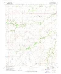
1972 · Loyal SE
USGS Topo · 1:24,000
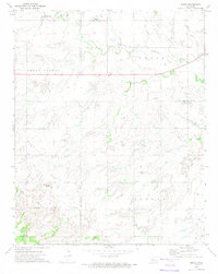
1972 · Omega
USGS Topo · 1:24,000

1972 · Watonga SE
USGS Topo · 1:24,000