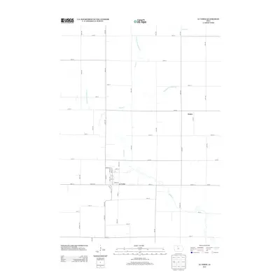
2013 Map of Lu Verne
USGS Topo · Published 2013About this map
The town of Lu Verne serves as the primary hub of this agricultural landscape in northern Iowa during the early 2010s. The map illustrates a strictly organized section-line road network, where routes like Co Hwy-P60 and Co Hwy-C12 facilitate local commerce across the flat prairie. This period shows a highly engineered water management system, characterized by the extensive development of Drainage Ditch Number 117, Drainage Ditch Number 116, and Drainage Ditch Number 103, which channel water into the natural course of Prairie Cr. These modifications reflect the area's intensive agricultural land use, allowing for productive farming around the smaller settlement of Hanna. The grid-based layout of Lu Verne's residential streets, including Garfield St and Linn St, provides a clear view of the town's early 21st-century footprint.
Find a feature on this map
47 named features on this map. Tap any name to fly to it.
Don’t see what you’re looking for? This feature index may not catch every label — zoom into the map to look around manually.
Map Details
Editions of this 2013 Lu Verne Map
This is the sole edition of this map. No revisions or reprints were ever made.
Other maps of this area

1954 · Fairmont
USGS Topo · 1:250,000

1954 · Mason City
USGS Topo · 1:250,000

1954 · Waterloo
USGS Topo · 1:250,000

1954 · Fort Dodge
USGS Topo · 1:250,000

1955 · Waterloo
USGS Topo · 1:250,000

1957 · Fort Dodge
USGS Topo · 1:250,000

1957 · Mason City
USGS Topo · 1:250,000

1958 · Mason City
USGS Topo · 1:250,000

1958 · Fort Dodge
USGS Topo · 1:250,000

1958 · Fairmont
USGS Topo · 1:250,000