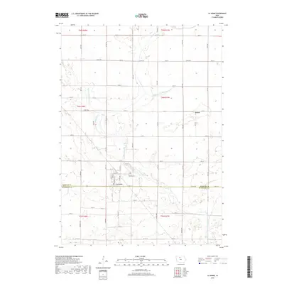
2018 Map of Lu Verne
USGS Topo · Published 2018About this map
Lu Verne serves as the primary hub of this agricultural landscape straddling the boundary between Kossuth and Humboldt Counties. The town's grid, featuring streets like Dewitt St and North St, is positioned just north of the county line, while the Luverne Township Cem sits along the banks of Prairie Creek to the east. The surrounding prairie is defined by an extensive water management network including Drainage Ditch Number 116 and Drainage Ditch Number 103, essential for the region's farming economy. To the north, the small settlement of Hanna is located at the intersection of 130th St and 225th Ave, illustrating the sparse but deliberate distribution of rural communities across North Central Iowa during this era.
Find a feature on this map
48 named features on this map. Tap any name to fly to it.
Don’t see what you’re looking for? This feature index may not catch every label — zoom into the map to look around manually.
Map Details
Editions of this 2018 Lu Verne Map
This is the sole edition of this map. No revisions or reprints were ever made.
Other maps of this area

1954 · Fairmont
USGS Topo · 1:250,000

1954 · Mason City
USGS Topo · 1:250,000

1954 · Waterloo
USGS Topo · 1:250,000

1954 · Fort Dodge
USGS Topo · 1:250,000

1955 · Waterloo
USGS Topo · 1:250,000

1957 · Fort Dodge
USGS Topo · 1:250,000

1957 · Mason City
USGS Topo · 1:250,000

1958 · Mason City
USGS Topo · 1:250,000

1958 · Fort Dodge
USGS Topo · 1:250,000

1958 · Fairmont
USGS Topo · 1:250,000