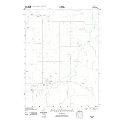
2010 Map of Lucas
USGS Topo · Published 2010About this map
Lucas sits at the intersection of local commerce and conservation in the southern portion of this Lucas County landscape. The town serves as a central hub, anchored by the Lucas Post Office, with the southern reaches of the quadrangle dominated by the Stephens Forest and its associated water features like Stephens Forest Pond. The surrounding countryside is defined by an extensive network of drainage, including White Breast Creek and Indian Creek, which carve through the agricultural parcels.
Find a feature on this map
39 named features on this map. Tap any name to fly to it.
Don’t see what you’re looking for? This feature index may not catch every label — zoom into the map to look around manually.
Map Details
Editions of this 2010 Lucas Map
This is the sole edition of this map. No revisions or reprints were ever made.
Other maps of this area

1918 · Chariton
USGS Topo · 1:62,500

1934 · Humeston
USGS Topo · 1:48,000

1937 · Corydon
USGS Topo · 1:62,500

1950 · New Virginia
USGS Topo · 1:62,500

1952 · New Virginia
USGS Topo · 1:62,500

1954 · Centerville
USGS Topo · 1:250,000

1954 · Des Moines
USGS Topo · 1:250,000

1956 · Des Moines
USGS Topo · 1:250,000

1957 · Des Moines
USGS Topo · 1:250,000

1957 · Centerville
USGS Topo · 1:250,000