
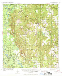
1941 Map of Lucedale
USGS Topo · Published 1961About this map
Lucedale serves as the hub of this 1941 survey, situated at the junction of the Gulf Mobile and Ohio RR and the Mississippi Export RR. The landscape is dominated by the winding courses of the Chickasawhay River and the Pascagoula River, where numerous oxbows like Upper Pines Lake and Lower Pines Lake indicate a shifting riverbed. The timber economy of George County is evident through the Mengel Lumber Camp and lookout towers such as Central Lookout. Rural life is well-documented for genealogists, featuring community centers like Bexley, Agricola, and Evanston, along with numerous country schools and churches. Notable local landmarks include the County Home Cem and the Agricola High Sch, reflecting the established social infrastructure of southeastern Mississippi during the early war years.
Find a feature on this map
74 named features on this map. Tap any name to fly to it.
Don’t see what you’re looking for? This feature index may not catch every label — zoom into the map to look around manually.
Map Details
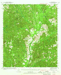
Editions of this 1941 Lucedale Map
2 editions found
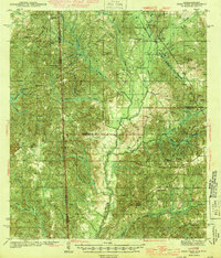
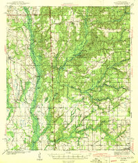
Other maps of this area

1941 · Hurley
USGS Topo · 1:62,500

1941 · Vancleave
USGS Topo · 1:62,500
1942 · Deer Park
USGS Topo · 1:62,500

1942 · Wilmer
USGS Topo · 1:62,500

1943 · Lucedale
USGS Topo · 1:62,500
1943 · Deer Park
USGS Topo · 1:62,500
1943 · Hurley
USGS Topo · 1:62,500

1943 · Vancleave
USGS Topo · 1:62,500

1944 · Wilmer
USGS Topo · 1:62,500

1944 · Vancleave
USGS Topo · 1:62,500