Loading...
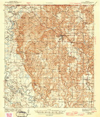
Loading map...1941 Map of Lucedale
USGS Topo · Published 1969About this map
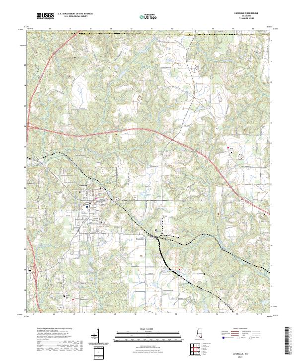
The Chickasawhay River and Pascagoula River converge in the western reach of this survey, creating a complex landscape of oxbows and swampy bends like Bilbo Dead River and Sandy Wash Bend. Centered on the upland plateau is Lucedale, a vital hub where the Gulf Mobile and Ohio and Mississippi Export railroads intersect. This confluence of rail and river geography reflects a period defined by timber and transport, evidenced by the Mengel Lumber Camp near the southern riverbanks.
Find a feature on this map
77 named features on this map. Tap any name to fly to it.
Don’t see what you’re looking for? This feature index may not catch every label — zoom into the map to look around manually.
Map Details
Date Portrayed1941
Date Published1969
PublisherU.S. Geological Survey
Map TypeTopographic
Scale1:62,500
Physical Dimensions16.9 x 20.8 inches
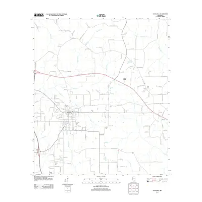
Editions of this 1941 Lucedale Map
2 editions found

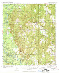
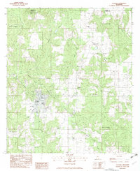
Historical Maps of Lucedale Through Time
8 maps found
Featured Locations
Source Details
SourceU.S. Geological Survey
CopyrightPublic Domain