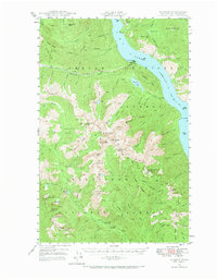
1944 Map of Lucerne
USGS Topo · Published 1972About this map
Lake Chelan dominates this mid-century survey, serving as the primary transport corridor for the isolated settlements and mining operations of north-central Washington. The settlement of Lucerne sits at the mouth of Railroad Creek, acting as a gateway to the high peaks of the Chelan Mountains and the interior of the Wenatchee National Forest. Evidence of early industrial activity is found at the Edi Mine near Riddle Peaks, while the mapped Steamer Route to Chelan underscores the reliance on waterborne travel before extensive road networks penetrated these steep drainages.
Find a feature on this map
87 named features on this map. Tap any name to fly to it.
Don’t see what you’re looking for? This feature index may not catch every label — zoom into the map to look around manually.
Map Details
Editions of this 1944 Lucerne Map
3 editions found
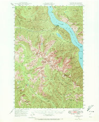
Other maps of this area

1899 · Methow
USGS Topo · 1:125,000

1901 · Chelan
USGS Topo · 1:125,000

1901 · Methow
USGS Topo · 1:125,000

1901 · Chiwaukum
USGS Topo · 1:125,000

1902 · Stehekin
USGS Topo · 1:125,000

1904 · Stehekin
USGS Topo · 1:125,000

1904 · Chiwaukum
USGS Topo · 1:125,000

1944 · Holden
USGS Topo · 1:62,500

1944 · Lucerne
USGS Topo · 1:62,500

1949 · Lucerne
USGS Topo · 1:62,500