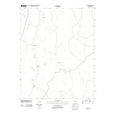
2010 Map of Lucero
USGS Topo · Published 2010About this map
Coyote Creek carves a path through this high-elevation landscape of northern New Mexico, anchoring a series of small, family-named settlements that define the local geography. From Los Cocas in the north to Lucero and Montoya in the south, the pattern of habitation follows the water and the winding route of Coyote Rd. This 2010 survey highlights the cultural imprint of the region through its commemorative landmarks, such as Montoya Cemetery and La Morada Cemetery, providing critical points for genealogical research. The terrain is marked by dramatic drainages like Silva Canyon and Guadalupita Canyon, while the small settlement of La Jara remains a central point with its designated La Jara Post Office. High plains water bodies, including Amador Lake and Apache Lake, contrast with the dry reaches of Jarosa Creek.
Find a feature on this map
21 named features on this map. Tap any name to fly to it.
Don’t see what you’re looking for? This feature index may not catch every label — zoom into the map to look around manually.
Map Details
Editions of this 2010 Lucero Map
This is the sole edition of this map. No revisions or reprints were ever made.
Other maps of this area

1889 · Las Vegas
USGS Topo · 1:125,000

1891 · Las Vegas
USGS Topo · 1:125,000

1893 · Las Vegas
USGS Topo · 1:125,000

1954 · Santa Fe
USGS Topo · 1:250,000

1954 · Raton
USGS Topo · 1:250,000

1958 · Raton
USGS Topo · 1:250,000

1958 · Santa Fe
USGS Topo · 1:250,000

1963 · Fort Union
USGS Topo · 1:24,000

1963 · Rainsville
USGS Topo · 1:24,000

1965 · Chacon
USGS Topo · 1:24,000