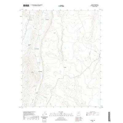
2020 Map of Lucero
USGS Topo · Published 2020About this map
Lucero and the surrounding high-altitude valleys of Mora County are defined by a network of small, family-named settlements that reflect the long-standing Hispanic heritage of northern New Mexico. These communities, including Los Cocas, Los Cisneros, and Los Medinas, are situated along the life-giving waters of Coyote Cr and La Jara Cr. The landscape transitions from the broad expanse of La Mesa to the prominent heights of El Cerro Colorado, with significant local markers such as Montoya Cem and La Morada Cem providing essential points of interest for those tracing family lineages in the region. The presence of Amador Lake and various canyons like Silva Canyon and Guadalupita Canyon underscores the complex topography where traditional land use and natural water drainage systems have shaped the placement of roads such as Coyote Rd and Ojo Feliz Rd.
Find a feature on this map
21 named features on this map. Tap any name to fly to it.
Don’t see what you’re looking for? This feature index may not catch every label — zoom into the map to look around manually.
Map Details
Editions of this 2020 Lucero Map
This is the sole edition of this map. No revisions or reprints were ever made.
Other maps of this area

1889 · Las Vegas
USGS Topo · 1:125,000

1891 · Las Vegas
USGS Topo · 1:125,000

1893 · Las Vegas
USGS Topo · 1:125,000

1954 · Santa Fe
USGS Topo · 1:250,000

1954 · Raton
USGS Topo · 1:250,000

1958 · Raton
USGS Topo · 1:250,000

1958 · Santa Fe
USGS Topo · 1:250,000

1963 · Fort Union
USGS Topo · 1:24,000

1963 · Rainsville
USGS Topo · 1:24,000

1965 · Chacon
USGS Topo · 1:24,000