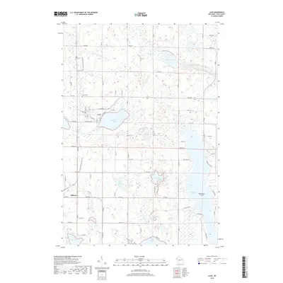
2018 Map of Luck
USGS Topo · Published 2018About this map
The village of Luck and the neighboring community of Milltown anchor this detailed landscape in Polk County, where the topography is defined by a dense concentration of glacial lakes and wetlands. The central hub of activity revolves around Big Butternut Lake, while the expansive Bone Lake dominates the eastern section of the quadrangle, complete with the prominent Bald Eagle Island. The modern path of the Ice Age National Scenic Trail winds through the terrain, crossing near the S Br Trade River and Straight Lake in the north before tracing south past both established settlements.
Find a feature on this map
79 named features on this map. Tap any name to fly to it.
Don’t see what you’re looking for? This feature index may not catch every label — zoom into the map to look around manually.
Map Details
Editions of this 2018 Luck Map
This is the sole edition of this map. No revisions or reprints were ever made.
Other maps of this area

1900 · St Croix Dalles
USGS Topo · 1:62,500

1901 · St Croix Dalles
USGS Topo · 1:62,500

1950 · Balsam Lake
USGS Topo · 1:62,500

1951 · Milltown
USGS Topo · 1:48,000

1951 · Frederic
USGS Topo · 1:48,000

1953 · Stillwater
USGS Topo · 1:250,000

1955 · St. Croix Dalles
USGS Topo · 1:62,500

1955 · Frederic
USGS Topo · 1:62,500

1955 · Milltown
USGS Topo · 1:62,500

1955 · Stillwater
USGS Topo · 1:250,000