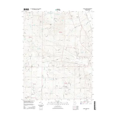
2014 Map of Luckett Ridge
USGS Topo · Published 2014About this map
Luckett Ridge stands as the central topographic anchor of this Lincoln County landscape, overlooking a dense concentration of family and community burial grounds. The area is dotted with small cemeteries including Star Hope Cemetery, McCullen Cemetery, and Argent Cemetery, suggesting a long history of rural settlement and familial roots. The tiny hamlet of Apex is situated in the northeast, while Argentville lies further south, connected by a network of rural routes like Old Highway 79 and Mo-M.
Find a feature on this map
154 named features on this map. Tap any name to fly to it.
Don’t see what you’re looking for? This feature index may not catch every label — zoom into the map to look around manually.
Map Details
Editions of this 2014 Luckett Ridge Map
This is the sole edition of this map. No revisions or reprints were ever made.
Other maps of this area

1903 · O'Fallon
USGS Topo · 1:125,000

1930 · Hardin
USGS Topo · 1:62,500

1931 · Brussels
USGS Topo · 1:62,500

1934 · Elsberry
USGS Topo · 1:48,000

1934 · Hardin
USGS Topo · 1:62,500

1938 · Hardin
USGS Topo · 1:62,500

1939 · Brussels
USGS Topo · 1:62,500

1941 · Troy
USGS Topo · 1:62,500

1942 · Elsberry
USGS Topo · 1:62,500

1943 · Brussels
USGS Topo · 1:62,500