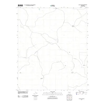
2010 Map of Lucky Lake
USGS Topo · Published 2010About this map
Buchanan Ranch and a network of named livestock infrastructure anchor this high-desert landscape in Chaves County. At the time of this 2010 survey, the area was defined by its water management, featuring a series of named wells and windmills such as Windy Windmill, Horse Pasture Windmill, and Frazor Windmill. The natural topography is shaped by seasonal drainages like Antelope Draw and the distinct depression of Deep Lake in the north. The human footprint is sparse but functional, centered on ranching outposts like Well Camp and the Publ Corral. Movement through this territory relies on a grid of rural routes including County Rd-146, Chesser Rd, and Buchanan Draw Rd, which follow the natural contours of the land rather than strict cardinal directions.
Find a feature on this map
14 named features on this map. Tap any name to fly to it.
Don’t see what you’re looking for? This feature index may not catch every label — zoom into the map to look around manually.
Map Details
Editions of this 2010 Lucky Lake Map
This is the sole edition of this map. No revisions or reprints were ever made.
Other maps of this area

1949 · Hondo Reservoir
USGS Topo · 1:24,000

1949 · Juan Lake
USGS Topo · 1:24,000

1955 · Kincaid Ranch
USGS Topo · 1:24,000

1955 · Roswell
USGS Topo · 1:250,000

1956 · Diamond A Ranch
USGS Topo · 1:24,000

1958 · Roswell
USGS Topo · 1:250,000

1959 · Diamond A Ranch
USGS Topo · 1:24,000

1961 · Indian Bluff
USGS Topo · 1:62,500

1962 · Roswell
USGS Topo · 1:250,000

1962 · Horseshoe Bend
USGS Topo · 1:62,500