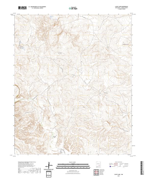
2023 Map of Lucky Lake
USGS Topo · Published 2023About this map
Deep Lake and Lucky Lake sit as isolated water features within an arid expanse of Chaves County, New Mexico. The landscape is defined by a complex drainage system, where numerous dry watercourses such as Thirteenmile Draw, Johnson Draw, and Antelope Draw carve through the terrain. These geographical features suggest a territory shaped by seasonal runoff and cattle ranching requirements in a high-desert environment.
Find a feature on this map
21 named features on this map. Tap any name to fly to it.
Don’t see what you’re looking for? This feature index may not catch every label — zoom into the map to look around manually.
Map Details
Editions of this 2023 Lucky Lake Map
This is the sole edition of this map. No revisions or reprints were ever made.
Other maps of this area

1949 · Hondo Reservoir
USGS Topo · 1:24,000

1949 · Juan Lake
USGS Topo · 1:24,000

1955 · Kincaid Ranch
USGS Topo · 1:24,000

1955 · Roswell
USGS Topo · 1:250,000

1956 · Diamond A Ranch
USGS Topo · 1:24,000

1958 · Roswell
USGS Topo · 1:250,000

1959 · Diamond A Ranch
USGS Topo · 1:24,000

1961 · Indian Bluff
USGS Topo · 1:62,500

1962 · Roswell
USGS Topo · 1:250,000

1962 · Horseshoe Bend
USGS Topo · 1:62,500