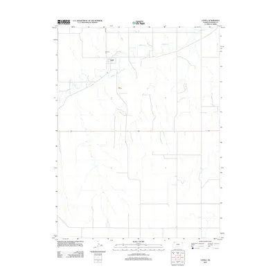
2012 Map of Ludell
USGS Topo · Published 2012About this map
Ludell serves as the focal point of this high-plains landscape in Rawlins County, situated along the winding course of Beaver Cr. The map documents a rural agricultural environment structured by a precise grid of section roads, including Co Rd 439, which connects the small settlement to the surrounding farmsteads. Local history and genealogy are anchored by two distinct burial sites: Immanuel Cem to the north of the town site and Rose Hill Cem located further south. This 2012 survey illustrates the enduring layout of the region's land management and the sparse, methodical distribution of community landmarks across the Kansas prairie.
Find a feature on this map
5 named features on this map. Tap any name to fly to it.
Don’t see what you’re looking for? This feature index may not catch every label — zoom into the map to look around manually.
Map Details
Editions of this 2012 Ludell Map
This is the sole edition of this map. No revisions or reprints were ever made.
Other maps of this area
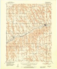
1951 · Herndon
USGS Topo · 1:62,500
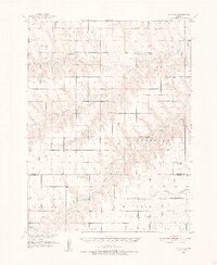
1951 · Achilles
USGS Topo · 1:62,500
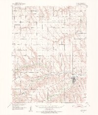
1951 · Atwood
USGS Topo · 1:62,500
1951 · Chardon
USGS Topo · 1:62,500

1954 · Goodland
USGS Topo · 1:250,000

1956 · Goodland
USGS Topo · 1:250,000

1957 · Goodland
USGS Topo · 1:250,000
1965 · Achilles
USGS Topo · 1:24,000
1978 · Atwood
USGS Topo · 1:24,000
1978 · Herndon
USGS Topo · 1:24,000