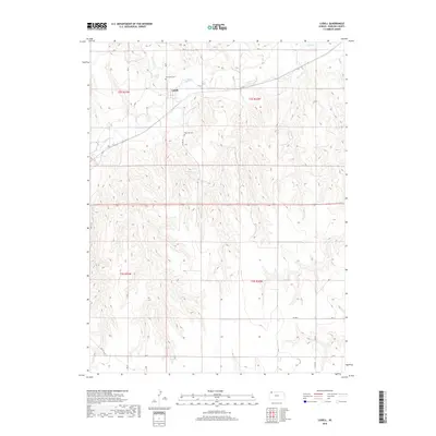
2018 Map of Ludell
USGS Topo · Published 2018About this map
Ludell occupies a small plateau in the northwest corner of this Rawlins County survey, situated just south of the winding valley of Beaver Cr. The settlement pattern follows the established grid of the Public Land Survey System, with roads like Rd U and Rd V defining the boundaries of agricultural sections. The local landscape is heavily dissected by numerous unnamed draws and drainage patterns that feed into the larger creek system, illustrating the complex topography of the High Plains region.
Find a feature on this map
18 named features on this map. Tap any name to fly to it.
Don’t see what you’re looking for? This feature index may not catch every label — zoom into the map to look around manually.
Map Details
Editions of this 2018 Ludell Map
This is the sole edition of this map. No revisions or reprints were ever made.
Other maps of this area
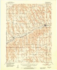
1951 · Herndon
USGS Topo · 1:62,500
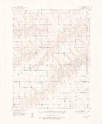
1951 · Achilles
USGS Topo · 1:62,500
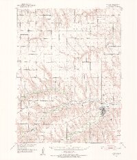
1951 · Atwood
USGS Topo · 1:62,500
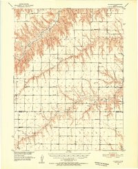
1951 · Chardon
USGS Topo · 1:62,500

1954 · Goodland
USGS Topo · 1:250,000

1956 · Goodland
USGS Topo · 1:250,000

1957 · Goodland
USGS Topo · 1:250,000
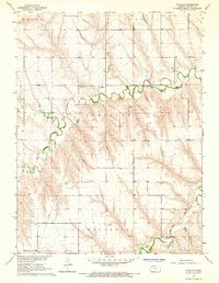
1965 · Achilles
USGS Topo · 1:24,000
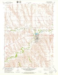
1978 · Atwood
USGS Topo · 1:24,000
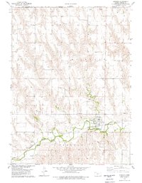
1978 · Herndon
USGS Topo · 1:24,000