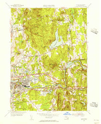
1954 Map of Ludlow
USGS Topo · Published 1956About this map
Ludlow and North Wilbraham center this mid-1950s survey of the Pioneer Valley's industrial and residential fringes. The landscape is defined by the significant hydraulic engineering of the Ludlow Reservoir and Springfield Reservoir, which dominate the northern terrain between Facing Hills and Minechoag Mtn. These reservoirs, along with numerous ponds like Chapin Pond and Harris Pond, reflect the area's transition from a rural agricultural base to a primary source of water and recreation for the growing urban centers nearby.
Find a feature on this map
86 named features on this map. Tap any name to fly to it.
Don’t see what you’re looking for? This feature index may not catch every label — zoom into the map to look around manually.
Map Details
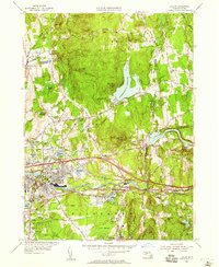
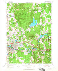
Editions of this 1954 Ludlow Map
3 editions found
Other maps of this area

1885 · Northampton
USGS Topo · 1:62,500

1886 · Springfield
USGS Topo · 1:62,500

1886 · Northampton
USGS Topo · 1:62,500

1887 · Palmer
USGS Topo · 1:62,500

1887 · Belchertown
USGS Topo · 1:62,500

1889 · Springfield
USGS Topo · 1:62,500

1889 · Palmer
USGS Topo · 1:62,500

1890 · Belchertown
USGS Topo · 1:62,500

1891 · Northampton
USGS Topo · 1:62,500

1893 · Northampton
USGS Topo · 1:62,500