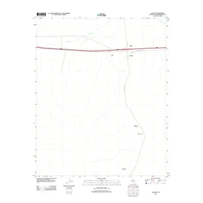
2012 Map of Ludlow
USGS Topo · Published 2012About this map
Ludlow serves as the central hub of this High Desert landscape, where the National Trails Hwy and Ludlow Rd converge near the modern interstate. The map captures a transitional geography defined by wide drainage patterns like Argos Wash and Broadwell Wash, which dominate the northern terrain. To the south, the landscape is punctuated by isolated elevations such as Sand Hill and Swede Hill. A notable infrastructure corridor extends southward via Bagdad Chase Rd, connecting the main settlement to Ragtown and Stedman. This network of roads and small settlements illustrates the enduring footprint of desert transportation and commerce, centered around the local airfield at Ludlow Airport.
Find a feature on this map
13 named features on this map. Tap any name to fly to it.
Don’t see what you’re looking for? This feature index may not catch every label — zoom into the map to look around manually.
Map Details
Editions of this 2012 Ludlow Map
This is the sole edition of this map. No revisions or reprints were ever made.
Other maps of this area
1953 · San Bernardino
USGS Topo · 1:250,000
1954 · Ludlow SE
USGS Topo · 1:24,000
1955 · Ludlow
USGS Topo · 1:24,000
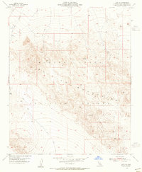
1955 · Lavic SE
USGS Topo · 1:24,000
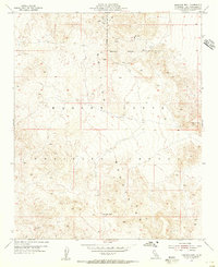
1955 · Morgans Well
USGS Topo · 1:24,000
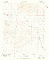
1955 · Ash Hill
USGS Topo · 1:24,000
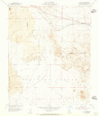
1955 · Lavic Lake
USGS Topo · 1:24,000
1955 · Lavic
USGS Topo · 1:62,500
1955 · Cady Mountains
USGS Topo · 1:62,500
1955 · Broadwell Lake
USGS Topo · 1:62,500