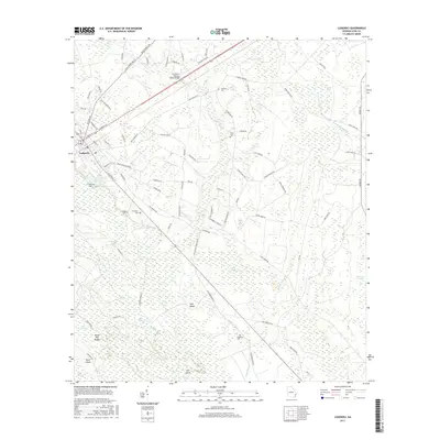
2017 Map of Ludowici
USGS Topo · Published 2017About this map
Ludowici serves as the central hub of this South Georgia landscape, where the convergence of the Ivy Melvin Hendrix Junior Bridge and US Route 84 dictates the flow of local movement. The surrounding terrain is defined by an intricate network of wetlands and named lowlands, including the expansive Bull Town Swamp and the uniquely titled Black Calico. These hydrologic features, alongside Chapman Lake and Goose River, illustrate a coastal plain environment dominated by water and pine-covered rises like Pine Island.
Find a feature on this map
95 named features on this map. Tap any name to fly to it.
Don’t see what you’re looking for? This feature index may not catch every label — zoom into the map to look around manually.
Map Details
Editions of this 2017 Ludowici Map
This is the sole edition of this map. No revisions or reprints were ever made.
Other maps of this area

1918 · Jesup
USGS Topo · 1:62,500

1918 · Hinesville
USGS Topo · 1:62,500

1920 · Glennville
USGS Topo · 1:62,500

1943 · Ludowici
USGS Topo · 1:62,500

1943 · Jesup
USGS Topo · 1:62,500

1944 · Glennville
USGS Topo · 1:62,500

1944 · Hinesville
USGS Topo · 1:62,500

1946 · Brunswick
USGS Topo · 1:250,000

1948 · Brunswick
USGS Topo · 1:250,000

1950 · Glennville
USGS Topo · 1:62,500