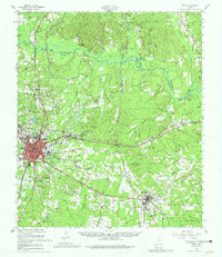
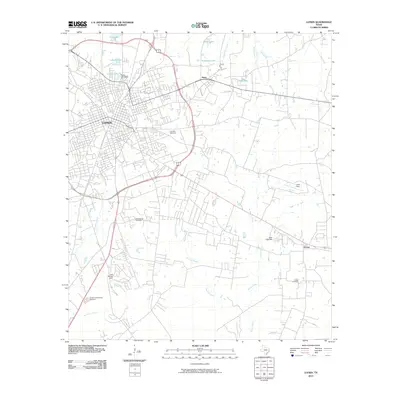
1949 Map of Lufkin
USGS Topo · Published 1980About this map
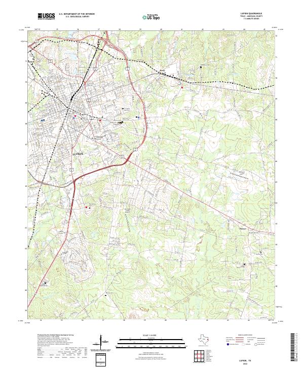
The timber and rail hub of Lufkin serves as the focal point of this East Texas landscape, where the Southern Pacific tracks connect industrial sites like Keltys and Herty. The map reveals a high density of rural community markers, particularly the numerous churches and schools such as Saint Anna Sch and Saints Rest Ch that served the outlying settlements of Huntington, Homer, and Redland. The geography is defined by the winding course of the Angelina River and the Neches River, which frame the heavily wooded expanses of the Angelina National Forest.
Find a feature on this map
72 named features on this map. Tap any name to fly to it.
Don’t see what you’re looking for? This feature index may not catch every label — zoom into the map to look around manually.
Map Details
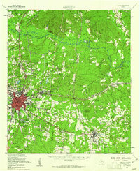
Editions of this 1949 Lufkin Map
2 editions found
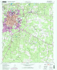
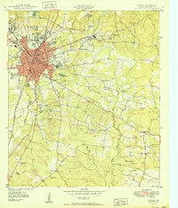
Historical Maps of Lufkin Through Time
10 maps found
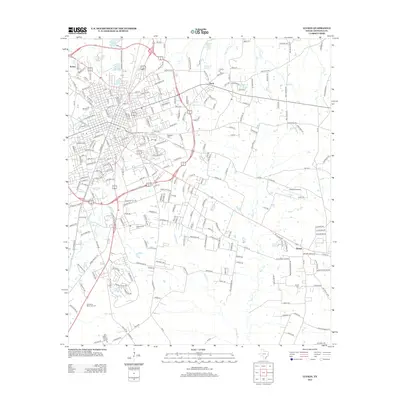
1949 Lufkin
Angelina County, TX
1949 Lufkin
Angelina County, TX
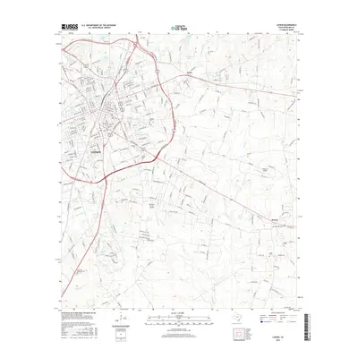
1950 Lufkin
Angelina County, TX

1986 Lufkin
Angelina County, TX

1992 Lufkin
Angelina County, TX
2010 Lufkin
Angelina County, TX
2013 Lufkin
Angelina County, TX
2016 Lufkin
Angelina County, TX
2019 Lufkin
Angelina County, TX
2022 Lufkin
Angelina County, TX