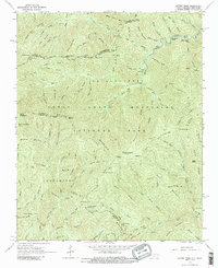
1964 Map of Luftee Knob
USGS Topo · Published 1974About this map
Great Smoky Mountains National Park dominates this 1964 survey, capturing a high-elevation landscape defined by the intersection of several massive mountain systems. The Appalachian Trail traces the winding ridgeline that serves as the state boundary between North Carolina and Tennessee, connecting prominent peaks like Inadu Knob and Camel Hump Mtn. In the south, the Blue Ridge Parkway skirts the lower slopes near Beech Gap, marking the transition into more accessible terrain.
Find a feature on this map
109 named features on this map. Tap any name to fly to it.
Don’t see what you’re looking for? This feature index may not catch every label — zoom into the map to look around manually.
Map Details
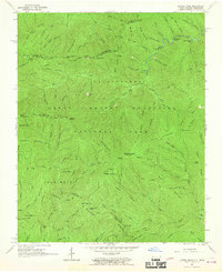
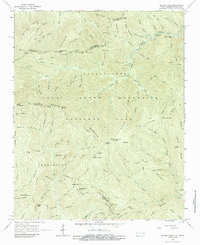
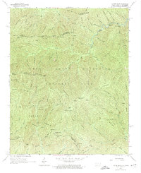
Editions of this 1964 Luftee Knob Map
4 editions found
Other maps of this area

1893 · Mt Guyot
USGS Topo · 1:125,000

1912 · Mt Guyot
USGS Topo · 1:125,000

1935 · Newport
USGS Topo · 1:48,000

1935 · Hartford
USGS Topo · 1:24,000

1935 · English Mountain
USGS Topo · 1:48,000

1935 · Dellwood
USGS Topo · 1:24,000

1935 · Jones Cove
USGS Topo · 1:24,000

1936 · Bunches Bald
USGS Topo · 1:24,000
1936 · Cove Creek Gap
USGS Topo · 1:24,000
1936 · Waterville
USGS Topo · 1:24,000