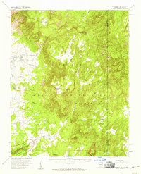
1955 Map of Lukachukai
USGS Topo · Published 1959About this map
Navajo Indian Reservation lands dominate this mid-century survey, showcasing a landscape defined by traditional community hubs and dramatic geological features. The settlement of Lukachukai serves as a primary focal point, anchored by the St Isabel Mission and the Lukachukai Trading Post. To the south, near the waters of Tsaile Creek, the community of Tsaile is marked by the St Ann Church. This era of the reservation is characterized by the presence of vital commercial outposts like the Upper Greasewood Trading Post, which supported local residents in this high-altitude environment.
Find a feature on this map
29 named features on this map. Tap any name to fly to it.
Don’t see what you’re looking for? This feature index may not catch every label — zoom into the map to look around manually.
Map Details
Editions of this 1955 Lukachukai Map
2 editions found
Other maps of this area

1889 · Chaco
USGS Topo · 1:250,000

1892 · Chaco
USGS Topo · 1:250,000

1892 · Canyon De Chelly
USGS Topo · 1:250,000

1934 · Ship Rock
USGS Topo · 1:62,500

1937 · Ship Rock
USGS Topo · 1:62,500

1953 · Sanostee
USGS Topo · 1:62,500

1953 · Redrock Valley SE
USGS Topo · 1:24,000

1953 · Redrock Valley SW
USGS Topo · 1:24,000

1953 · Los Gigantes SE
USGS Topo · 1:24,000

1953 · Los Gigantes Buttes
USGS Topo · 1:62,500