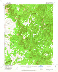
1955 Map of Lukachukai
USGS Topo · Published 1962About this map
Lukachukai sits at the base of the high timbered country where the Chuska Mountains and Lukachukai Mountains converge. This mid-1950s survey captures a landscape of the Navajo Indian Reservation defined by its trading economy and spiritual landmarks. Key social centers include the St Isabel Mission and the Upper Greasewood Trading Post, alongside the smaller settlement of Tohotso. The topography rises sharply toward Roof Butte, where a Roof Butte Lookout stands watch over the high mesas.
Find a feature on this map
31 named features on this map. Tap any name to fly to it.
Don’t see what you’re looking for? This feature index may not catch every label — zoom into the map to look around manually.
Map Details
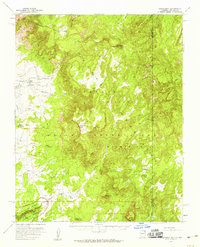
Editions of this 1955 Lukachukai Map
2 editions found
Other maps of this area

1889 · Chaco
USGS Topo · 1:250,000

1892 · Chaco
USGS Topo · 1:250,000

1892 · Canyon De Chelly
USGS Topo · 1:250,000

1934 · Ship Rock
USGS Topo · 1:62,500

1937 · Ship Rock
USGS Topo · 1:62,500

1953 · Sanostee
USGS Topo · 1:62,500

1953 · Redrock Valley SE
USGS Topo · 1:24,000

1953 · Redrock Valley SW
USGS Topo · 1:24,000

1953 · Los Gigantes SE
USGS Topo · 1:24,000

1953 · Los Gigantes Buttes
USGS Topo · 1:62,500