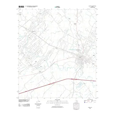
2010 Map of Luling
USGS Topo · Published 2010About this map
The San Marcos River carves a winding path through this central Texas landscape, where the town of Luling stands as a primary hub. This area is defined by its deep connection to the petroleum industry, evidenced by the extensive Luling Oil Field, Spiller Oil Field, and Dunlap Oil Field that flank the river valley. For those tracing family histories, the map is densely populated with burial grounds including the Highsmith Cemeteries, Appling Cemetery, and Marines Cemetery.
Find a feature on this map
66 named features on this map. Tap any name to fly to it.
Don’t see what you’re looking for? This feature index may not catch every label — zoom into the map to look around manually.
Map Details
Editions of this 2010 Luling Map
This is the sole edition of this map. No revisions or reprints were ever made.
Other maps of this area

1911 · San Marcos
USGS Topo · 1:125,000

1919 · San Marcos
USGS Topo · 1:125,000

1924 · San Marcos 3-d
USGS Topo · 1:48,000

1925 · San Marcos 4-c
USGS Topo · 1:48,000

1925 · San Marcos 1-d
USGS Topo · 1:48,000

1925 · San Marcos 4-a
USGS Topo · 1:48,000

1929 · Luling
USGS Topo · 1:62,500

1930 · Lockhart
USGS Topo · 1:62,500

1930 · Seguin
USGS Topo · 1:62,500

1953 · Seguin
USGS Topo · 1:250,000