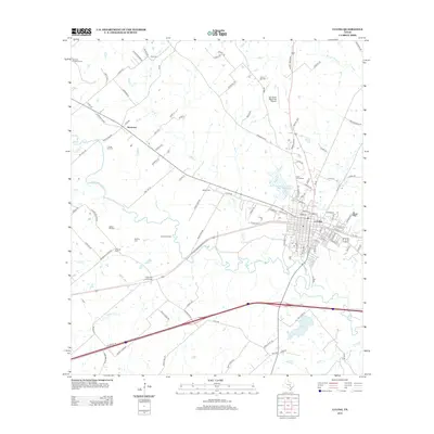
2013 Map of Luling
USGS Topo · Published 2013About this map
The San Marcos River snakes through this landscape, defining the geographic character of the region just northwest of Luling. This area is shaped by a legacy of petroleum extraction, clearly visible through the extensive footprints of the Luling Oil Field, Spiller Oil Field, and Dunlap Oil Field. These industrial zones share the terrain with numerous family and community burial sites, including the Highsmith Cemeteries, Appling Cem, and Marines Cem, which provide significant touchstones for genealogical research.
Find a feature on this map
114 named features on this map. Tap any name to fly to it.
Don’t see what you’re looking for? This feature index may not catch every label — zoom into the map to look around manually.
Map Details
Editions of this 2013 Luling Map
This is the sole edition of this map. No revisions or reprints were ever made.
Other maps of this area
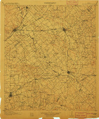
1911 · San Marcos
USGS Topo · 1:125,000
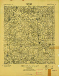
1919 · San Marcos
USGS Topo · 1:125,000
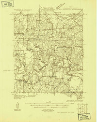
1924 · San Marcos 3-d
USGS Topo · 1:48,000
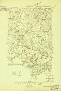
1925 · San Marcos 4-c
USGS Topo · 1:48,000
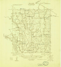
1925 · San Marcos 1-d
USGS Topo · 1:48,000
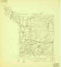
1925 · San Marcos 4-a
USGS Topo · 1:48,000
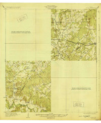
1929 · Luling
USGS Topo · 1:62,500
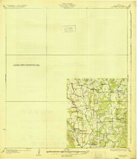
1930 · Lockhart
USGS Topo · 1:62,500
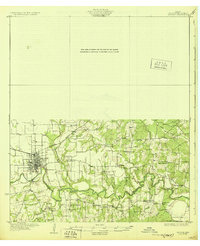
1930 · Seguin
USGS Topo · 1:62,500

1953 · Seguin
USGS Topo · 1:250,000