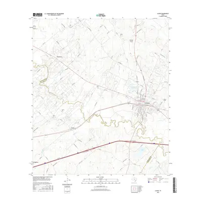
2016 Map of Luling
USGS Topo · Published 2016About this map
The San Marcos River snakes through the central Texas landscape on this 2016 survey, carving a complex path between the settlements of Luling and Stairtown. The terrain is marked by a high density of rural burial sites that offer a clear window into the area's pioneer and family history, including Saint Johns Cem, the Highsmith Cemeteries, and the Ussery Cem. These sites are dispersed across a network of country roads such as Washburn Rd and Mount Pleasant, reflecting generations of settlement patterns near the river's fertile basin.
Find a feature on this map
114 named features on this map. Tap any name to fly to it.
Don’t see what you’re looking for? This feature index may not catch every label — zoom into the map to look around manually.
Map Details
Editions of this 2016 Luling Map
This is the sole edition of this map. No revisions or reprints were ever made.
Other maps of this area
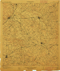
1911 · San Marcos
USGS Topo · 1:125,000
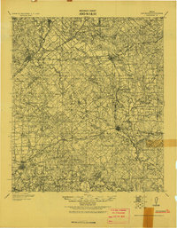
1919 · San Marcos
USGS Topo · 1:125,000
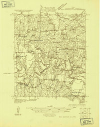
1924 · San Marcos 3-d
USGS Topo · 1:48,000
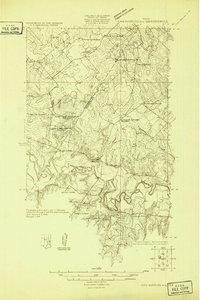
1925 · San Marcos 4-c
USGS Topo · 1:48,000
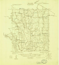
1925 · San Marcos 1-d
USGS Topo · 1:48,000
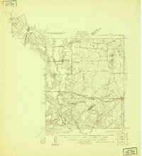
1925 · San Marcos 4-a
USGS Topo · 1:48,000
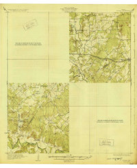
1929 · Luling
USGS Topo · 1:62,500
1930 · Lockhart
USGS Topo · 1:62,500
1930 · Seguin
USGS Topo · 1:62,500

1953 · Seguin
USGS Topo · 1:250,000