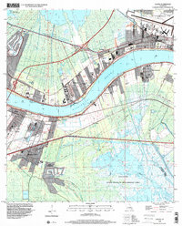
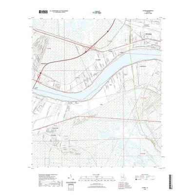
1967 Map of Luling
USGS Topo · Published 1973About this map
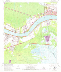
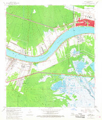
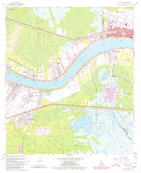
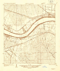
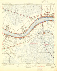
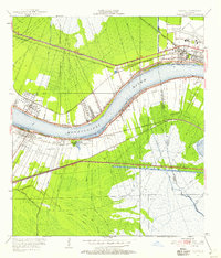
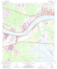
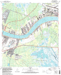
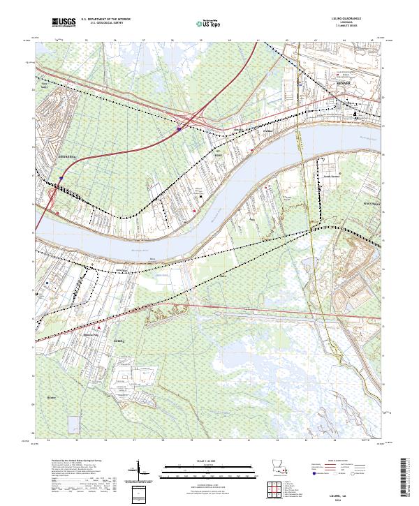
The Mississippi River dominates this landscape as it flows between Luling and Destrehan, carving through a region defined by its industrial riverfront and deep-rooted sugarcane plantation history. The map preserves a remarkable historic marker at the Davis Crevasse (1884), identifying the site of a major levee breach that once reshaped the local topography. Along the banks, an intricate network of rail lines including the Illinois Central Gulf and Southern Pacific reflects the mid-century infrastructure supporting the river's commerce.
Find a feature on this map
35 named features on this map. Tap any name to fly to it.
Don’t see what you’re looking for? This feature index may not catch every label — zoom into the map to look around manually.
Map Details
Editions of this 1967 Luling Map
4 editions found
Historical Maps of Kenner Through Time
11 maps found
1935 Luling
St. Charles Parish, LA
1938 Luling
St. Charles Parish, LA
1951 Luling
St. Charles Parish, LA
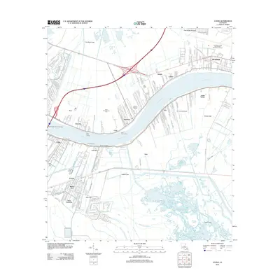
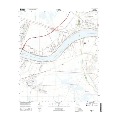
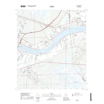
1967 Luling
St. Charles Parish, LA
1992 Luling
St. Charles Parish, LA
1998 Luling
St. Charles Parish, LA
2012 Luling
St. Charles Parish, LA
2015 Luling
St. Charles Parish, LA
2018 Luling
St. Charles Parish, LA
2020 Luling
St. Charles Parish, LA
2024 Luling
St. Charles Parish, LA