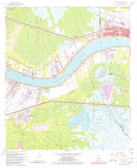
1967 Map of Luling
USGS Topo · Published 1980About this map
The Mississippi River creates a massive, winding divide across this landscape, separating the communities of Destrehan, St Rose, and Kenner on the east bank from Luling and Ama on the west. This river-centric economy is defined by heavy rail infrastructure, including the Illinois Central Gulf and Texas and Pacific lines, and industrial markers like the Good Hope Oil and Gas Field. A notable topographic feature is the Davis Crevasse (1884), a historical breach in the levee system that left its mark on the swampy terrain near Davis Pond. Urban development is visible in the residential grids of Mimosa Park and the expansive grounds of the New Orleans International Airport (Moisant Field). Local history is further preserved through the mapping of St Charles Cem, Mt Zion Ch, and the Pecan Grove Sch, documenting the social fabric of St Charles Parish during this era of growth.
Find a feature on this map
36 named features on this map. Tap any name to fly to it.
Don’t see what you’re looking for? This feature index may not catch every label — zoom into the map to look around manually.
Map Details
Editions of this 1967 Luling Map
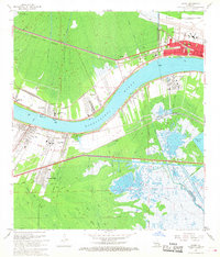
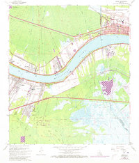
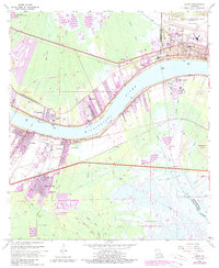
4 editions found
Other maps of this area

1891 · Hahnville
USGS Topo · 1:62,500

1891 · Spanish Fort
USGS Topo · 1:62,500

1891 · New Orleans
USGS Topo · 1:62,500

1892 · Bonnet Carre
USGS Topo · 1:62,500

1932 · New Orleans NW
USGS Topo · 1:31,680

1932 · New Orleans SW
USGS Topo · 1:31,680

1932 · Hahnville NW
USGS Topo · 1:31,680

1932 · Hahnville SW
USGS Topo · 1:31,680

1932 · Hahnville NE
USGS Topo · 1:31,680

1935 · Laplace
USGS Topo · 1:31,680