
1955 Map of Lumberton
USGS Topo · Published 1957About this map
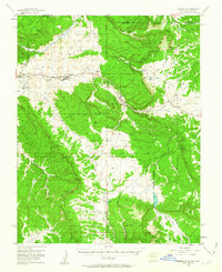
Lumberton sits at the northern edge of the Jicarilla Apache Indian Reservation, where the high desert terrain meets the Navajo River valley near the Colorado state line. In the mid-1950s, this area was defined by a mix of extractive industry and high-altitude ranching, linked by the tracks of the Denver and Rio Grande Western railroad. Resource extraction is evidenced by the Casanti Bros Mine and Early Mine located near Monero, a settlement nestled within the rugged canyons and mesas of the Continental Divide.
Find a feature on this map
46 named features on this map. Tap any name to fly to it.
Don’t see what you’re looking for? This feature index may not catch every label — zoom into the map to look around manually.
Map Details
Editions of this 1955 Lumberton Map
4 editions found
Other maps of this area

1889 · Largo
USGS Topo · 1:250,000

1895 · Largo
USGS Topo · 1:250,000

1913 · Summitville
USGS Topo · 1:125,000

1915 · Summitville
USGS Topo · 1:125,000

1924 · Pagosa Springs
USGS Topo · 1:125,000

1927 · Pagosa Springs
USGS Topo · 1:125,000

1945 · Durango
USGS Topo · 1:250,000

1953 · Durango
USGS Topo · 1:250,000

1954 · Durango
USGS Topo · 1:250,000

1954 · Aztec
USGS Topo · 1:250,000