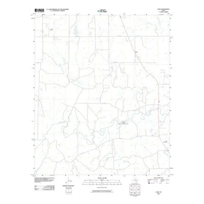
2010 Map of Lusk
USGS Topo · Published 2010About this map
Lusk sits within a landscape defined by the winding course of the Clear Fork Brazos River and its numerous tributaries. This Throckmorton County region shows a mix of ranching and energy infrastructure, notably the Woodson Oil Field in the northwest. Water management is central to the area's layout, evidenced by the Stevens Company Water Company Lake Dam and Lester Clark Dam, which control drainage across the undulating plains.
Find a feature on this map
18 named features on this map. Tap any name to fly to it.
Don’t see what you’re looking for? This feature index may not catch every label — zoom into the map to look around manually.
Map Details
Editions of this 2010 Lusk Map
This is the sole edition of this map. No revisions or reprints were ever made.
Other maps of this area

1890 · Breckenridge
USGS Topo · 1:125,000

1892 · Albany
USGS Topo · 1:125,000

1893 · Albany
USGS Topo · 1:125,000

1954 · Abilene
USGS Topo · 1:250,000

1954 · Wichita Falls
USGS Topo · 1:250,000

1958 · Wichita Falls
USGS Topo · 1:250,000

1958 · Abilene
USGS Topo · 1:250,000

1958 · Breckenridge
USGS Topo · 1:24,000

1958 · Edwards Branch
USGS Topo · 1:24,000

1965 · Lusk
USGS Topo · 1:24,000