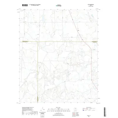
2019 Map of Lusk
USGS Topo · Published 2019About this map
Lusk stands as the primary settlement in this northern Texas landscape, situated at the junction of several rural routes including Lusk Rd and Goble Rd. The terrain is defined by the winding course of the Clear Fork, which snake-crawls across the southern half of the map, fed by smaller tributaries like Brushy Br and Buck Br. This 2019 survey documents a sparsely populated ranching region where Throckmorton, Shackelford, and Stephens counties meet. The presence of the Lester Clark Reservoir in the southeast corner indicates modern water management, while named waterways such as Givens Cr and Kings Cr suggest the natural drainage patterns of this prairie environment. Transportation is anchored by state and county roads such as FM 2850, Hughes Rd, and Titus Rd, connecting isolated homesteads and ranch lands across the county lines.
Find a feature on this map
25 named features on this map. Tap any name to fly to it.
Don’t see what you’re looking for? This feature index may not catch every label — zoom into the map to look around manually.
Map Details
Editions of this 2019 Lusk Map
This is the sole edition of this map. No revisions or reprints were ever made.
Other maps of this area

1890 · Breckenridge
USGS Topo · 1:125,000

1892 · Albany
USGS Topo · 1:125,000

1893 · Albany
USGS Topo · 1:125,000

1954 · Abilene
USGS Topo · 1:250,000

1954 · Wichita Falls
USGS Topo · 1:250,000

1958 · Wichita Falls
USGS Topo · 1:250,000

1958 · Abilene
USGS Topo · 1:250,000

1958 · Breckenridge
USGS Topo · 1:24,000

1958 · Edwards Branch
USGS Topo · 1:24,000

1965 · Lusk
USGS Topo · 1:24,000