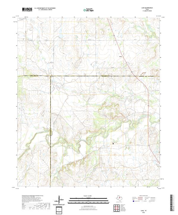
2022 Map of Lusk
USGS Topo · Published 2022About this map
The Clear Fork Brazos River winds through this rural landscape at the intersection of Stephens, Throckmorton, and Shackelford counties. This modern topographic study shows the small community of Lusk situated along 183 and Lusk Rd, surrounded by a network of ranch and county roads including Hughes Rd and Goble Rd. The terrain is defined by its drainage systems, with Givens Cr and Kings Cr cutting through the countryside toward the larger river valley.
Find a feature on this map
28 named features on this map. Tap any name to fly to it.
Don’t see what you’re looking for? This feature index may not catch every label — zoom into the map to look around manually.
Map Details
Editions of this 2022 Lusk Map
This is the sole edition of this map. No revisions or reprints were ever made.
Other maps of this area

1890 · Breckenridge
USGS Topo · 1:125,000

1892 · Albany
USGS Topo · 1:125,000

1893 · Albany
USGS Topo · 1:125,000

1954 · Abilene
USGS Topo · 1:250,000

1954 · Wichita Falls
USGS Topo · 1:250,000

1958 · Wichita Falls
USGS Topo · 1:250,000

1958 · Abilene
USGS Topo · 1:250,000

1958 · Breckenridge
USGS Topo · 1:24,000

1958 · Edwards Branch
USGS Topo · 1:24,000

1965 · Lusk
USGS Topo · 1:24,000