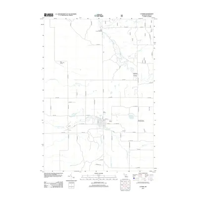
2012 Map of Luther
USGS Topo · Published 2012About this map
Luther serves as the primary hub of this Lake County landscape, centered at the intersection of N State Rd and E 3 1/2 Mile Rd. The village contains several key community sites, including Pleasant Hill Cem and the North Park Cem, while the Little Manistee River winds westward through the center of the sheet. To the north, the small settlement of Skookum is situated near the Skookum Bridge, where the Pine River flows through the northern reaches toward the Silver Creek State Forest Campground. Educational and recreational land use is prominent, evidenced by the Hillsdale College Biological Station near Rockwell Lake and the Guy Vander Jagt Airfield to the northwest. The terrain is defined by a dense network of forest roads and river systems, including Sellers Cr and Lincoln Cr, illustrating the area's enduring character as a destination for forestry and biological study.
Find a feature on this map
60 named features on this map. Tap any name to fly to it.
Don’t see what you’re looking for? This feature index may not catch every label — zoom into the map to look around manually.
Map Details
Editions of this 2012 Luther Map
This is the sole edition of this map. No revisions or reprints were ever made.
Other maps of this area

1931 · Chase NE
USGS Topo · 1:31,680

1931 · Baldwin NE
USGS Topo · 1:31,680

1932 · Chase NW
USGS Topo · 1:31,680

1933 · Peacock SE
USGS Topo · 1:31,680

1933 · Luther SE
USGS Topo · 1:31,680

1933 · Peacock NE
USGS Topo · 1:31,680

1933 · Luther SW
USGS Topo · 1:31,680

1933 · Luther NW
USGS Topo · 1:31,680

1954 · Traverse City
USGS Topo · 1:250,000

1954 · Midland
USGS Topo · 1:250,000