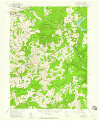
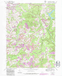
1959 Map of Luthersburg
USGS Topo · Published 1960About this map
Luthersburg and the surrounding townships of Sandy, Union, and Brady define this late 1950s landscape, where the agricultural valleys of the Allegheny Plateau meet an intensifying extractive economy. The Baltimore and Ohio railroad corridor serves as a primary industrial artery, connecting settlements like Rockton and Oklahoma to larger hubs. Evidence of the region’s coal industry is widespread, with numerous Strip Mines and a Tipple located near the Luthersburg Station.
Find a feature on this map
58 named features on this map. Tap any name to fly to it.
Don’t see what you’re looking for? This feature index may not catch every label — zoom into the map to look around manually.
Map Details
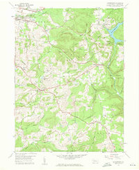
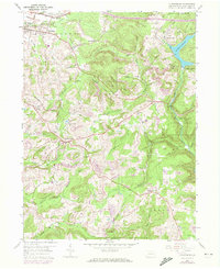
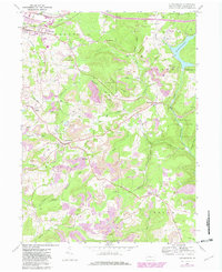
Editions of this 1959 Luthersburg Map
5 editions found
Other maps of this area

1903 · Curwensville
USGS Topo · 1:62,500

1906 · Punxsutawney
USGS Topo · 1:62,500

1922 · Du Bois
USGS Topo · 1:62,500

1924 · Du Bois
USGS Topo · 1:62,500

1929 · Penfield
USGS Topo · 1:62,500

1932 · Penfield
USGS Topo · 1:62,500

1939 · Curwensville
USGS Topo · 1:62,500

1939 · Punxsutawney
USGS Topo · 1:62,500

1942 · Curwensville
USGS Topo · 1:62,500

1942 · Punxsutawney
USGS Topo · 1:62,500