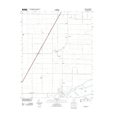
2011 Map of Luxora
USGS Topo · Published 2011About this map
Luxora and the surrounding Mississippi County bottomlands are defined by the winding course of the Mississippi River, where the Fletcher Bend Revetment and Fletcher Towhead illustrate modern river engineering and alluvial landforms. This 2011 survey reveals a landscape organized by a rigorous grid of section-line roads, interspersed with agricultural settlements and local history landmarks. Genealogists can identify significant burial sites such as Sandy Ridge Cemetery, New Salem Cemetery, and Citizen Cemetery. The presence of the Mississippi County Penal Farm and smaller communities like Burdette and Toluca reflect the area's rural development patterns. Waterways such as Catalpa Bayou and Mill Bayou drainage routes cut through the low-lying terrain, while features like Elmot Bar and Rosa Pocket indicate the dynamic nature of the river's shoreline south of Lemsford.
Find a feature on this map
58 named features on this map. Tap any name to fly to it.
Don’t see what you’re looking for? This feature index may not catch every label — zoom into the map to look around manually.
Map Details
Editions of this 2011 Luxora Map
This is the sole edition of this map. No revisions or reprints were ever made.
Other maps of this area

1939 · Blytheville
USGS Topo · 1:62,500

1939 · Evadale
USGS Topo · 1:62,500

1941 · Manila
USGS Topo · 1:62,500

1953 · Memphis
USGS Topo · 1:250,000

1955 · Blytheville
USGS Topo · 1:62,500

1956 · Manila
USGS Topo · 1:62,500

1956 · Evadale
USGS Topo · 1:62,500

1956 · Memphis
USGS Topo · 1:250,000

1956 · Blytheville
USGS Topo · 1:250,000

1959 · Blytheville
USGS Topo · 1:250,000