Loading...
Loading map...2024 Map of Luxora
USGS Topo · Published 2024About this map
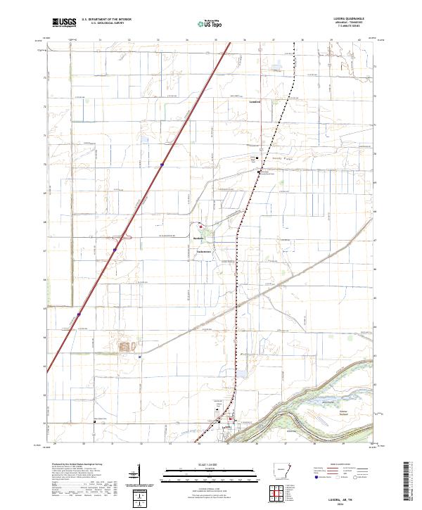
Agricultural fields and drainage networks define this Mississippi County landscape along the border of Arkansas and Tennessee. The town of Luxora anchors the southern portion of the sheet near the sharp bends of the Mississippi River, where landforms like Elmot Bar and Fletcher Towhead shift with the water's path. Moving north, the map documents a series of small rural communities and former plantation lands, including Burdette, Tuckertown, and Sandy Ridge.
Find a feature on this map
63 named features on this map. Tap any name to fly to it.
Don’t see what you’re looking for? This feature index may not catch every label — zoom into the map to look around manually.
Map Details
Date Portrayed2024
Date Published2024
PublisherU.S. Geological Survey
Map TypeTopographic
Scale1:24000
Physical Dimensions24 x 29 inches
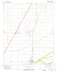
Editions of this 2024 Luxora Map
This is the sole edition of this map. No revisions or reprints were ever made.
Historical Maps of Tuckertown Through Time
Featured Locations
Source Details
SourceU.S. Geological Survey
CopyrightPublic Domain