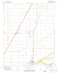
1972 Map of Luxora
USGS Topo · Published 1975About this map
The Mississippi River defines the southern edge of this delta landscape, where the Levee stands between the water and the agricultural grid of Mississippi County. The town of Luxora sits at a critical junction of the St Louis - San Francisco railroad and the river, while the smaller settlement of Burdette serves as a hub for the surrounding fields. The land is marked by an extensive drainage system, including Ditch No 19 and Ditch No 24, which made this fertile basin viable for large-scale farming.
Find a feature on this map
43 named features on this map. Tap any name to fly to it.
Don’t see what you’re looking for? This feature index may not catch every label — zoom into the map to look around manually.
Map Details
Editions of this 1972 Luxora Map
This is the sole edition of this map. No revisions or reprints were ever made.
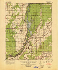
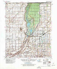
Other maps of this area

1939 · Blytheville
USGS Topo · 1:62,500

1939 · Evadale
USGS Topo · 1:62,500
1941 · Manila
USGS Topo · 1:62,500

1953 · Memphis
USGS Topo · 1:250,000

1955 · Blytheville
USGS Topo · 1:62,500
1956 · Manila
USGS Topo · 1:62,500

1956 · Evadale
USGS Topo · 1:62,500

1956 · Memphis
USGS Topo · 1:250,000

1956 · Blytheville
USGS Topo · 1:250,000

1959 · Blytheville
USGS Topo · 1:250,000