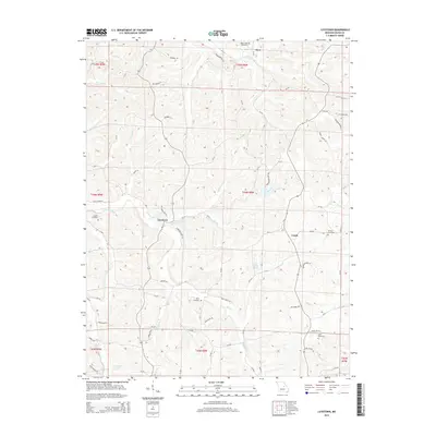
2015 Map of Luystown
USGS Topo · Published 2015About this map
Luystown and the surrounding Osage County countryside are defined by a complex network of creeks and family-named homesteads. The terrain is deeply carved by water, with Luystown Cr and Ben Branch flowing through the central ridges, while the southern reaches feature Franken Lake and the prominent Maple Bluff. Genealogists will find significant value in the distribution of family burial grounds, including the Laughlin Cemetery west of the main settlement and the Agee Cemetery further south.
Find a feature on this map
87 named features on this map. Tap any name to fly to it.
Don’t see what you’re looking for? This feature index may not catch every label — zoom into the map to look around manually.
Map Details
Editions of this 2015 Luystown Map
This is the sole edition of this map. No revisions or reprints were ever made.
Other maps of this area

1890 · Fulton
USGS Topo · 1:125,000

1934 · Linn
USGS Topo · 1:48,000

1934 · Bland
USGS Topo · 1:62,500

1935 · Morrison
USGS Topo · 1:48,000

1937 · Bland
USGS Topo · 1:62,500

1942 · Linn
USGS Topo · 1:62,500

1942 · Morrison
USGS Topo · 1:62,500

1945 · Mokane
USGS Topo · 1:62,500

1945 · Morrison
USGS Topo · 1:62,500

1945 · Linn
USGS Topo · 1:62,500