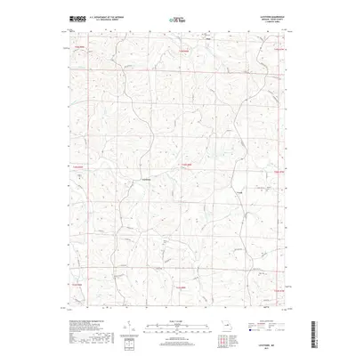
2017 Map of Luystown
USGS Topo · Published 2017About this map
Luystown and the surrounding Osage County terrain are defined by a network of creeks and ridges that have shaped the local settlement patterns. This map of the interior Missouri landscape illustrates the rural crossroads at Crook and the concentration of properties around Luystown. The topography is etched by numerous drainage systems, such as Deer Cr, Ben Br, and Indian Cr, which dictate the winding paths of county roads and historic farmsteads. These physical features reflect a region where agriculture and terrain have historically intersected, creating a distinct rural footprint marked by small cemeteries and scattered rural schools that served generations of local families.
Find a feature on this map
2 named features on this map. Tap any name to fly to it.
Don’t see what you’re looking for? This feature index may not catch every label — zoom into the map to look around manually.
Map Details
Editions of this 2017 Luystown Map
This is the sole edition of this map. No revisions or reprints were ever made.
Other maps of this area

1890 · Fulton
USGS Topo · 1:125,000

1934 · Linn
USGS Topo · 1:48,000

1934 · Bland
USGS Topo · 1:62,500

1935 · Morrison
USGS Topo · 1:48,000

1937 · Bland
USGS Topo · 1:62,500

1942 · Linn
USGS Topo · 1:62,500

1942 · Morrison
USGS Topo · 1:62,500

1945 · Mokane
USGS Topo · 1:62,500

1945 · Morrison
USGS Topo · 1:62,500

1945 · Linn
USGS Topo · 1:62,500