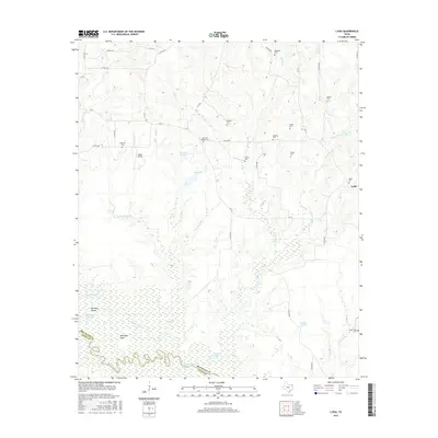
2016 Map of Lydia
USGS Topo · Published 2016About this map
The Sulphur River meanders along the southern border of this Northeast Texas landscape, defining the boundary between Red River and Titus counties. This region is characterized by extensive wetlands and wide prairies, including Shawnee Prairie in the central reaches and Walkers Prairie to the southeast. The small community of Lydia sits on the eastern edge of the quadrangle, connected to the surrounding countryside by a network of Farm to Market roads like FM 44.
Find a feature on this map
52 named features on this map. Tap any name to fly to it.
Don’t see what you’re looking for? This feature index may not catch every label — zoom into the map to look around manually.
Map Details
Editions of this 2016 Lydia Map
This is the sole edition of this map. No revisions or reprints were ever made.
Other maps of this area

1930 · Bassett
USGS Topo · 1:62,500

1950 · Oak Grove
USGS Topo · 1:24,000

1950 · Annona
USGS Topo · 1:24,000

1951 · Annona
USGS Topo · 1:24,000

1951 · Oak Grove
USGS Topo · 1:24,000

1951 · Avery
USGS Topo · 1:24,000

1953 · Texarkana
USGS Topo · 1:250,000

1956 · Texarkana
USGS Topo · 1:250,000

1964 · Wilkinson
USGS Topo · 1:24,000

1965 · Lydia
USGS Topo · 1:24,000