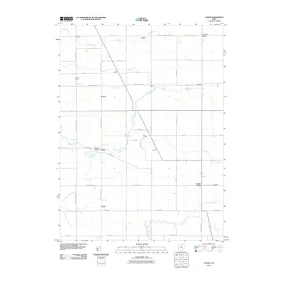
2010 Map of Lykens
USGS Topo · Published 2010About this map
Lykens and the surrounding township in northern Ohio are defined by a meticulous grid of rural roads and the meandering courses of the local waterways. The area is notable for its numerous burial grounds, including the Texas Township Cemetery near Benton and the East Baseline Baptist Cemetery along the Crawford Seneca County Line Rd. This concentration of legacy sites like Eden Cemetery and Pipetown Cemetery provides a clear view of the area's ancestral geography. Waterways such as Sycamore Creek and Broken Sword Creek weave through the landscape, cutting across the established township sections. Small clusters of development at Plankton, Lemert, and Broken Sword represent the enduring rural hubs of the county, while the broader drainage basin is marked by several branches of Spring Branch.
Find a feature on this map
55 named features on this map. Tap any name to fly to it.
Don’t see what you’re looking for? This feature index may not catch every label — zoom into the map to look around manually.
Map Details
Editions of this 2010 Lykens Map
This is the sole edition of this map. No revisions or reprints were ever made.
Other maps of this area

1906 · Sycamore
USGS Topo · 1:62,500

1906 · Tiffin
USGS Topo · 1:62,500

1915 · Siam
USGS Topo · 1:62,500

1915 · Bucyrus
USGS Topo · 1:62,500

1943 · Bucyrus
USGS Topo · 1:62,500

1950 · Marion
USGS Topo · 1:250,000

1956 · Toledo
USGS Topo · 1:250,000

1960 · Sycamore
USGS Topo · 1:24,000

1960 · Tiffin South
USGS Topo · 1:24,000

1960 · Oceola
USGS Topo · 1:24,000