1975 Map of Lyle
USGS Topo · Published 1979About this map
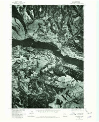
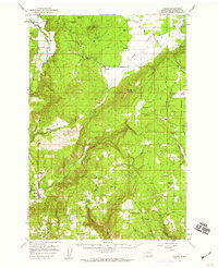
The Columbia River Gorge landscape is captured here through aerial orthophotography, providing a direct visual record of the land use and topography in the mid-1970s. The settlement of Lyle sits on the northern bank, positioned as a key riverfront community where the canyon walls transition into the surrounding plateaus. This specific survey, produced in cooperation with the Soil Conservation Service, emphasizes the varied terrain of the region, showing the distinct patterns of vegetation, rocky outcrops, and agricultural clearings that defined the Klickitat County area during this era. The imagery reveals the established road networks and shoreline developments that supported the local economy and river navigation at the time of the flight in September 1975.
Find a feature on this map
1 named feature on this map. Tap any name to fly to it.
Don’t see what you’re looking for? This feature index may not catch every label — zoom into the map to look around manually.
Map Details
Editions of this 1975 Lyle Map
This is the sole edition of this map. No revisions or reprints were ever made.
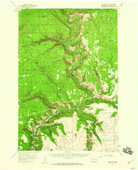
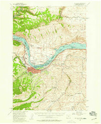
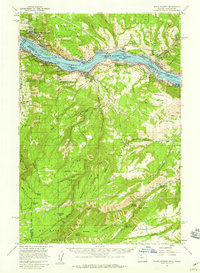
Other maps of this area

1934 · The Dalles
USGS Topo · 1:125,000

1953 · The Dalles
USGS Topo · 1:250,000

1956 · The Dalles
USGS Topo · 1:250,000

1957 · The Dalles
USGS Topo · 1:250,000
1957 · Klickitat
USGS Topo · 1:62,500
1957 · The Dalles
USGS Topo · 1:62,500
1957 · White Salmon
USGS Topo · 1:62,500
1957 · Husum
USGS Topo · 1:62,500

1974 · The Dalles North
USGS Topo · 1:24,000
1974 · Brown Creek
USGS Topo · 1:24,000