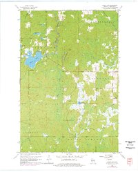
1961 Map of Lyman Lake
USGS Topo · Published 1976About this map
The glacial waters of Lyman Lake dominate the northwestern corner of this Douglas County landscape, where the Amnicon River and Little Amnicon R flow through a complex network of wetlands and small kettle lakes. Surveyed in the mid-1950s with revisions through the 1970s, the map illustrates a sparsely populated wilderness spanning the townships of Hawthorne, Oakland, Bennett, Gordon, and Solon Springs. The terrain is characterized by low-lying marshes and stream systems like Cranberry Creek and the Moose River, punctuated by occasional high points such as Pikes Peak. To the east, the Bennett Lookout Tower stands as a primary landmark, overlooking the transition from the Middle River headwaters to the East Fork drainage. This survey is particularly useful for tracking the original footprints of local named waters like Three Bucks Lakes and Scout Lake before later development altered the forest cover.
Find a feature on this map
21 named features on this map. Tap any name to fly to it.
Don’t see what you’re looking for? This feature index may not catch every label — zoom into the map to look around manually.
Map Details
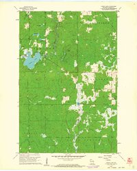
Editions of this 1961 Lyman Lake Map
2 editions found
Other maps of this area

1915 · Superior
USGS Topo · 1:48,000

1917 · Superior
USGS Topo · 1:62,500

1945 · Solon Springs
USGS Topo · 1:48,000

1949 · Solon Springs
USGS Topo · 1:48,000

1949 · Patzau
USGS Topo · 1:48,000

1949 · Poplar
USGS Topo · 1:48,000

1953 · Ashland
USGS Topo · 1:250,000

1953 · Duluth
USGS Topo · 1:250,000

1954 · Sunnyside
USGS Topo · 1:24,000

1954 · Amnicon Lake
USGS Topo · 1:24,000